2011, Travels

Catalina Island

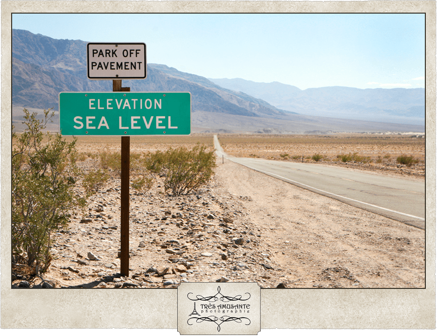
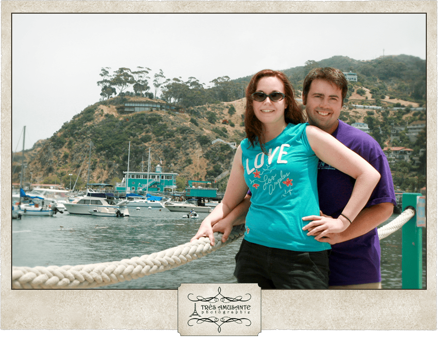
The idea of taking the ferry to Catalina Island and spending a few days in the seaside city of Avalon was actually our Plan B. Months earlier, we had talked about taking a donkey ride through the Grand Canyon and staying overnight in the hotel there. It seems that a lot of other people had that idea as well, because nothing was available when we would be in town. So Justin suggested Catalina Island instead.

Later that night, while watching The Late, Late Show with Craig Ferguson, guest Don Cheadle lamented how his family’s upcoming summer vacation was ruined because he couldn’t get a reservation for the hotel at the Grand Canyon. “You know what you should do,” Craig replied, “you should go to Catalina Island.”

Justin and I looked at each other in amazement. We’d had the exact same conversation earlier in the evening!

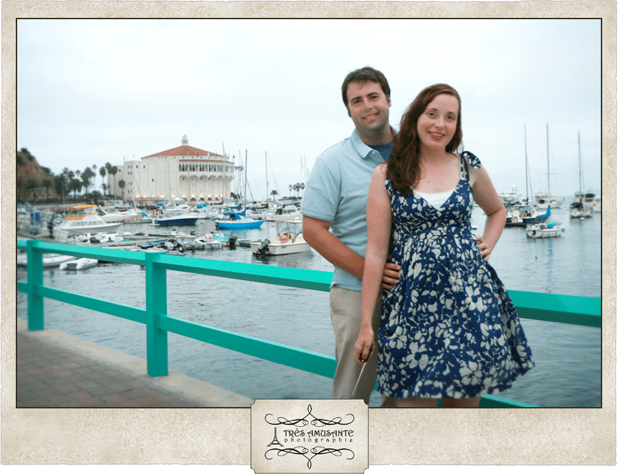
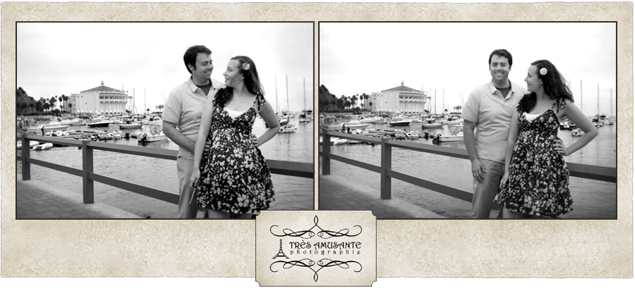
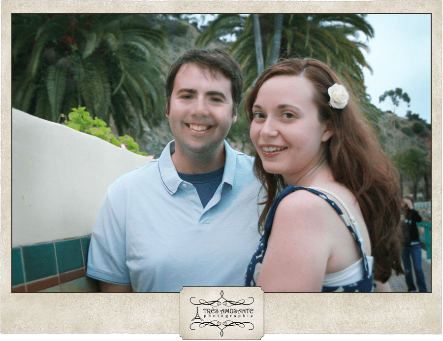
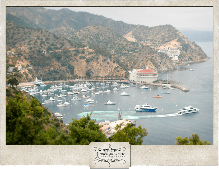
It was a bit overcast when we arrived on the Island. Patches of fog roll across the Pacific Ocean and don’t break up until they hit land, so the Catalina weather has some inherent moodiness, which I thought created a cool visual effect. 

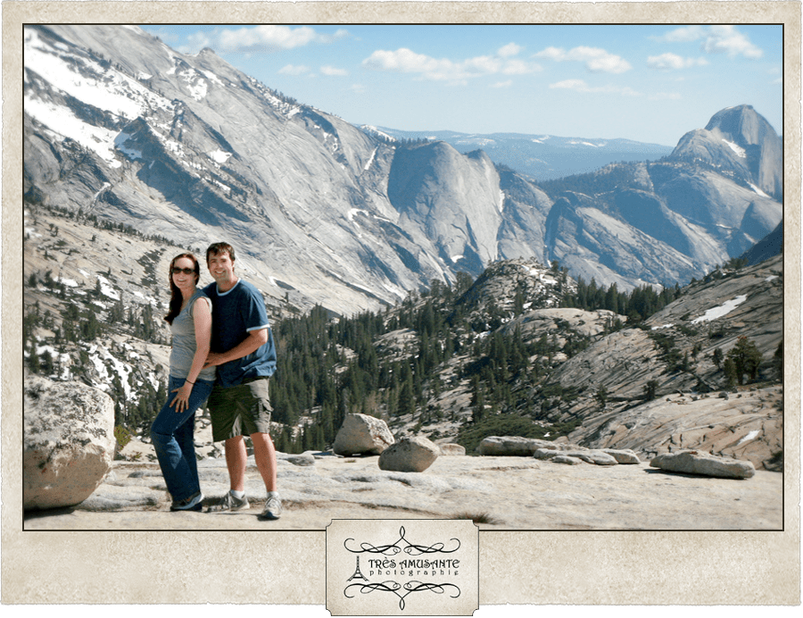
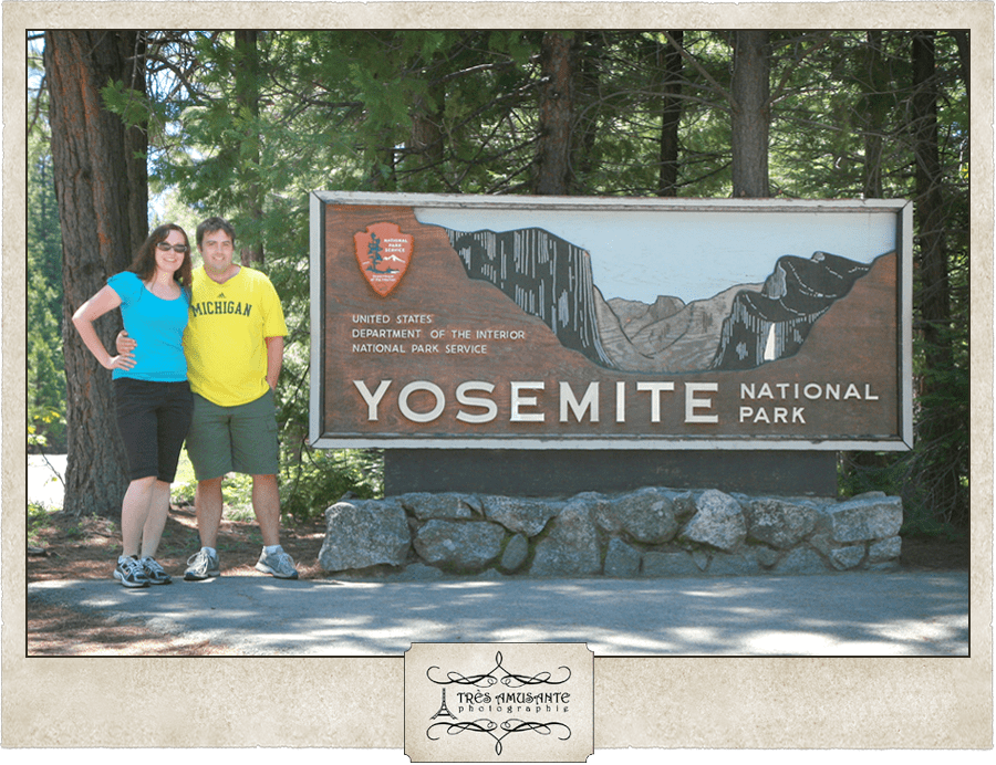
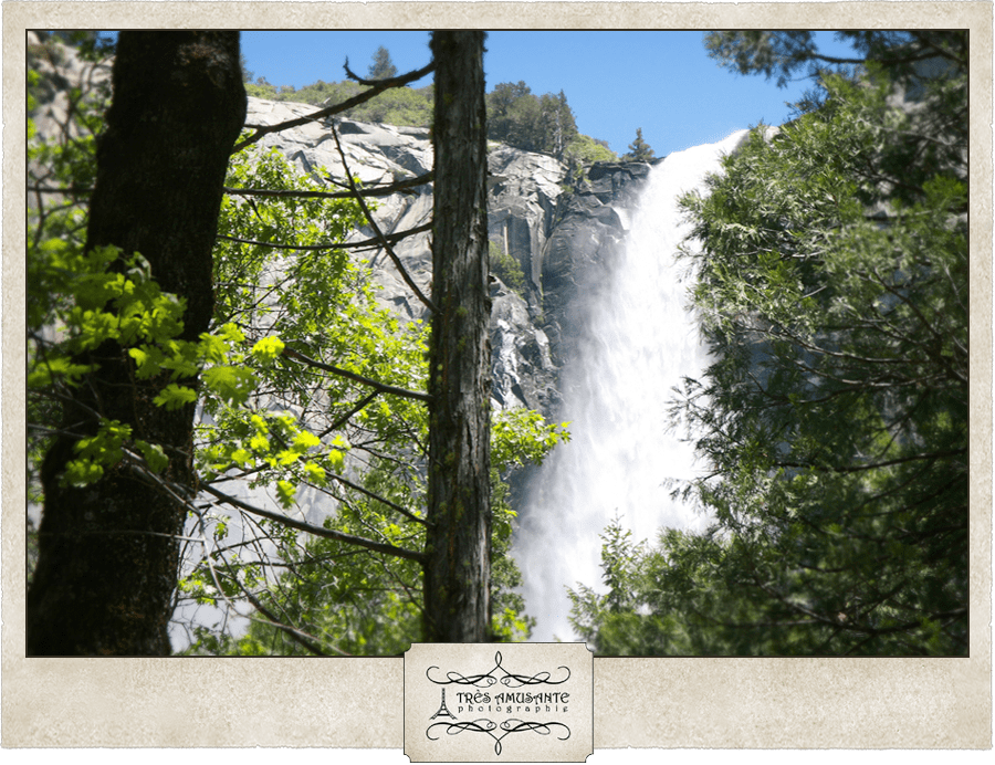
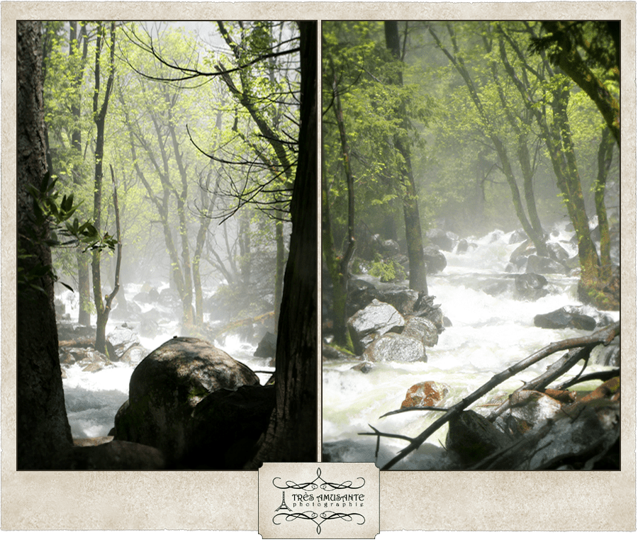
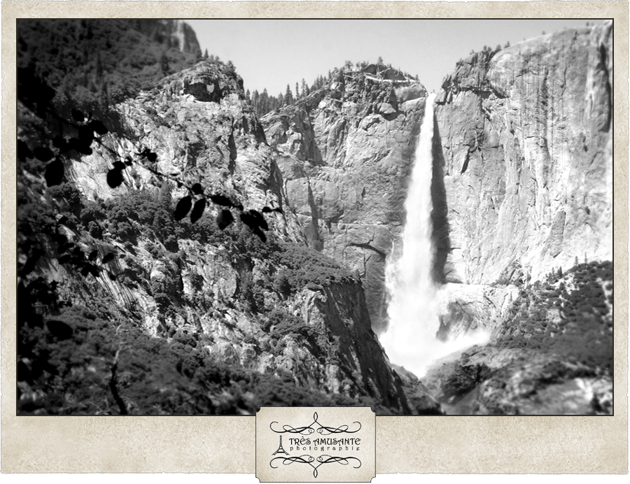
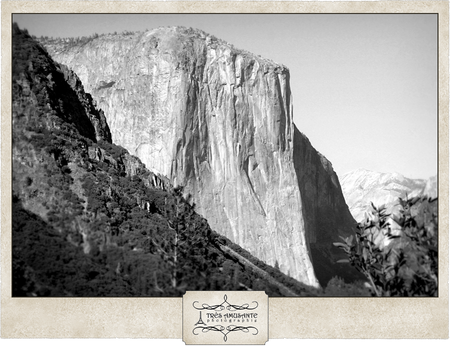
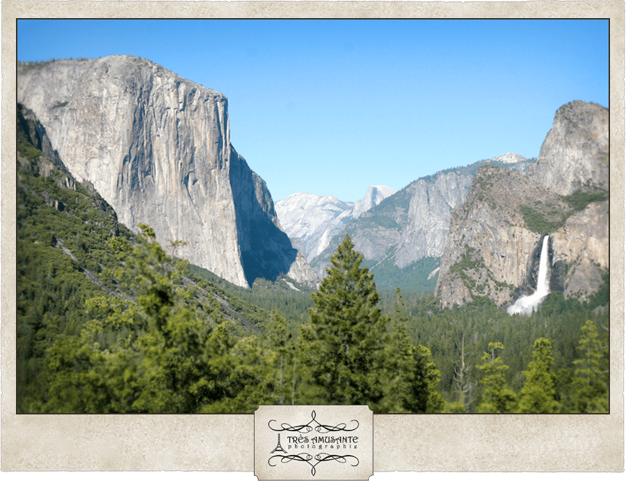
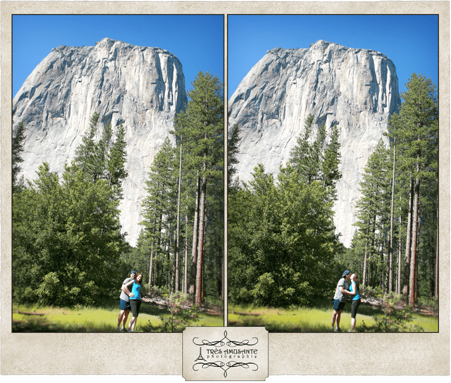
We’d had a long drive (six hours) down from Yosemite the night before and had to be up early in the morning to catch the ferry. So the first things we did once we got off the boat were check into our hotel and take a nap. Later in the afternoon, we got up to go explore Avalon.

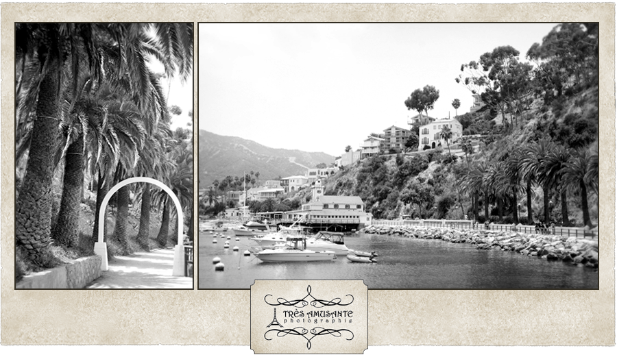
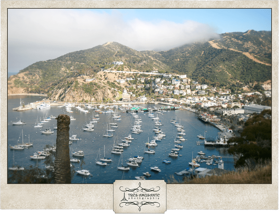
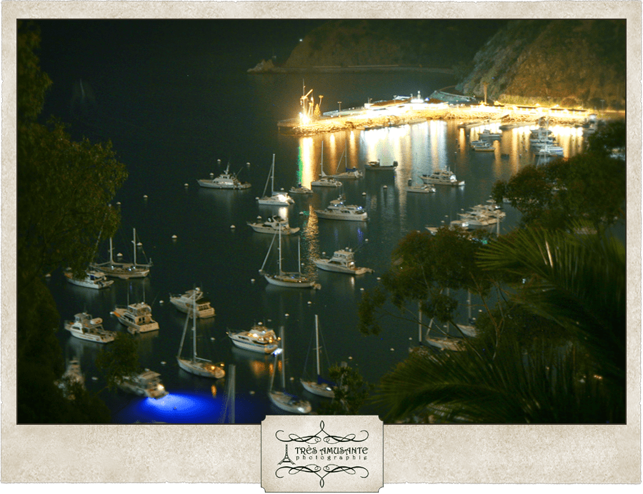
We hiked just outside the city to have a view of the bay from higher ground. Up in the mountains, it felt like we were in an episode of Lost and we expected the smoke monster to appear through the mist.

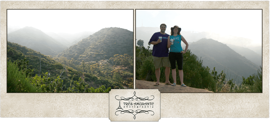
It was worth the risk of being dragged away by the smoke monster! The view was amazing!


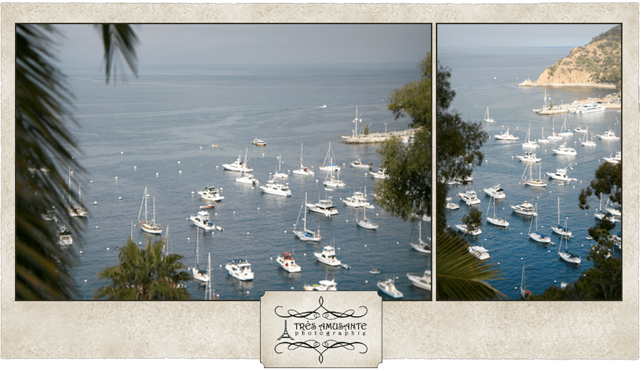
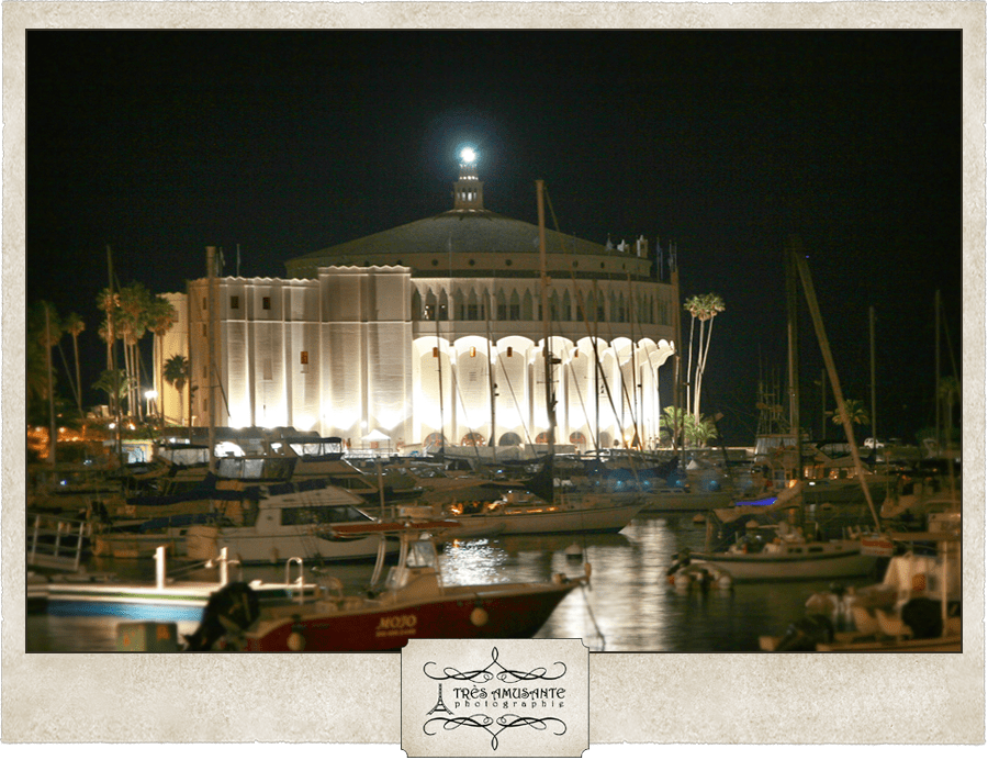
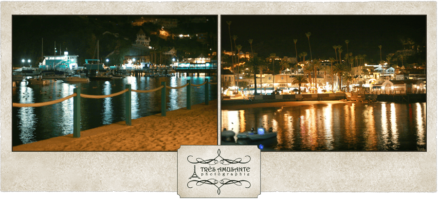
After a movie at the Avalon Theater, we took a walk along the bay and through downtown on the way back to our hotel.

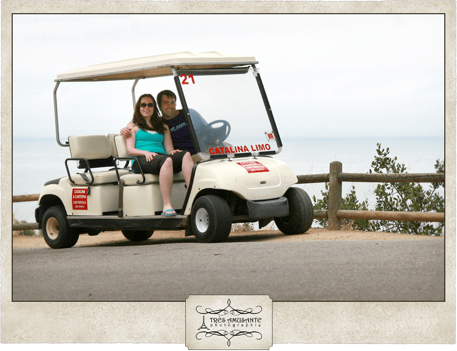
In the morning, we rented a golf cart so we could get around the hills easier and see more of the Island. We learned that Catalina is one of only two locations in California where golf carts are street legal. (We aren’t sure where the other one is, but we speculate that it’s Disneyland.)

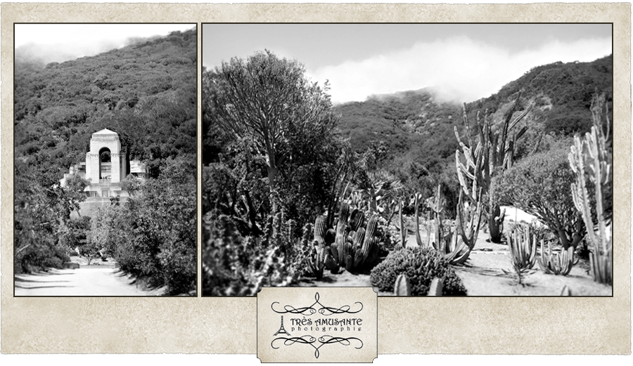
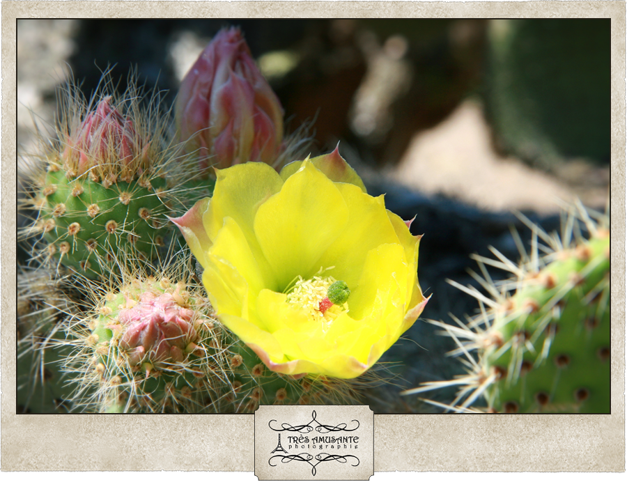
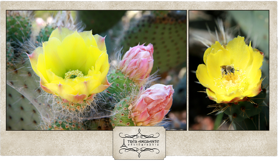
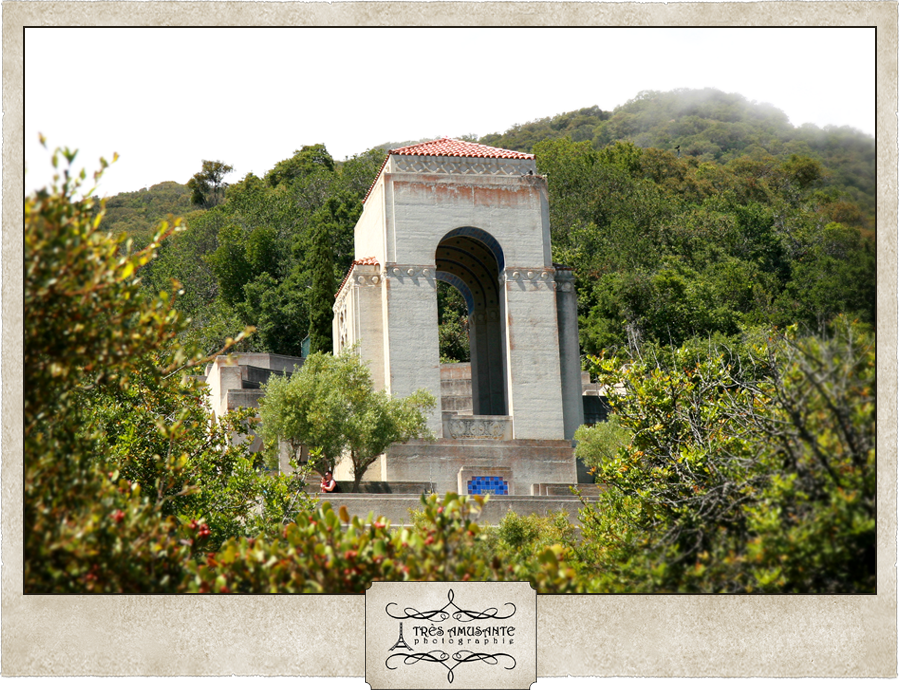
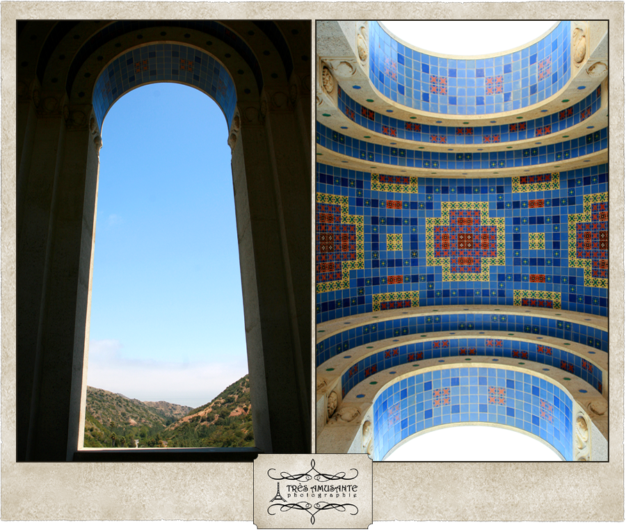
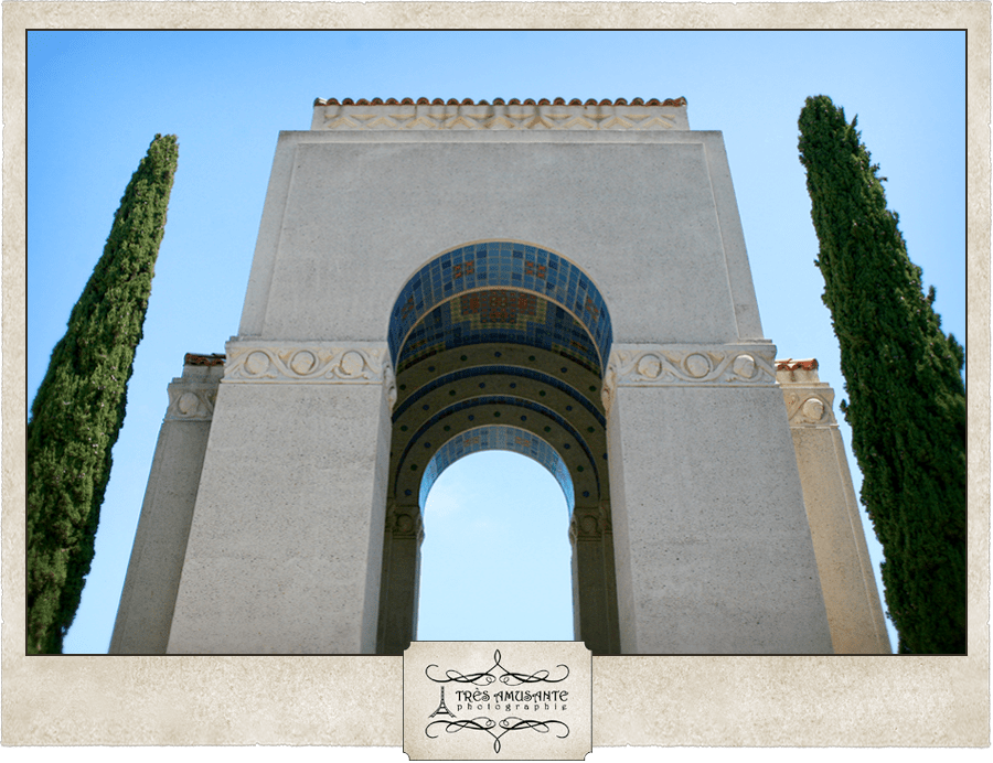
We went up to the Wrigley Memorial and Botanical Gardens. The Wrigley family, best known for manufacturing chewing gum, loved Catalina and put a lot of effort into both developing and preserving the Island. Primarily a cactus garden, many of the species of plants found in the Botanical Gardens grow only in California and a few are exclusive to Catalina Island.

Hoping I didn’t lose my balance and fall forward on the cactus, I stood on my tippy-toes to get some shots of the beautiful prickly pear blooms.

Built using as many materials from the Island as possible, the Wrigley Memorial was designed to showcase Catalina workmanship. All of the colorful tiles used in the monument were produced at the Catalina Pottery plant and much of the stone used in the construction came from the other side of the Island. 

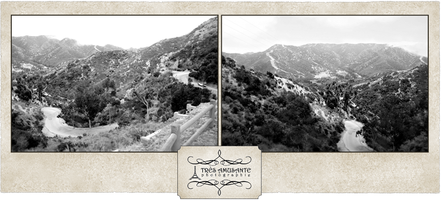
We took a long drive on the steep slopes and winding roads to see the Island from every perspective.

On our way to do some ocean kayaking, we happened past a wedding taking place in the sand. We don’t know who they were, but we wish them the best!

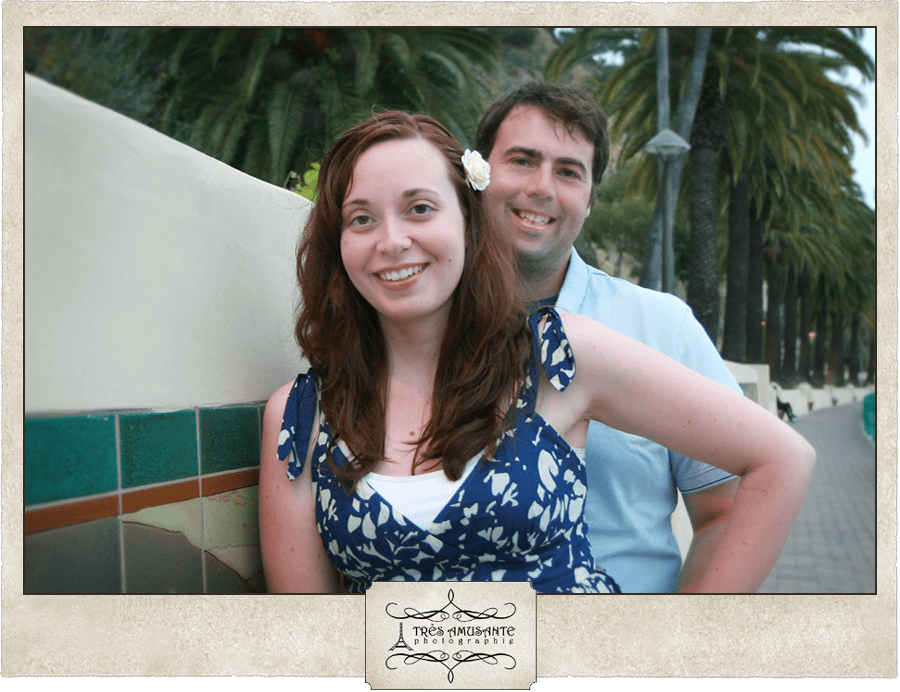
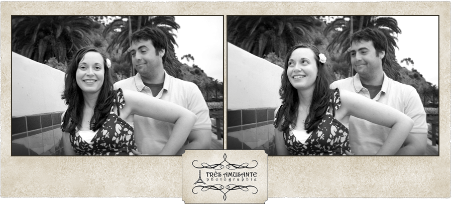
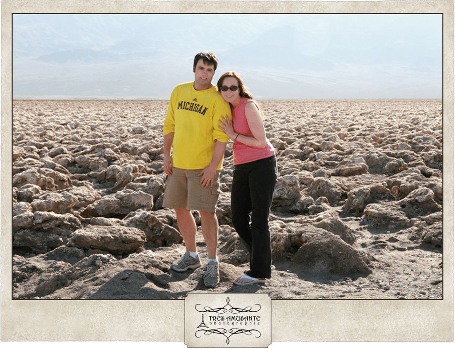
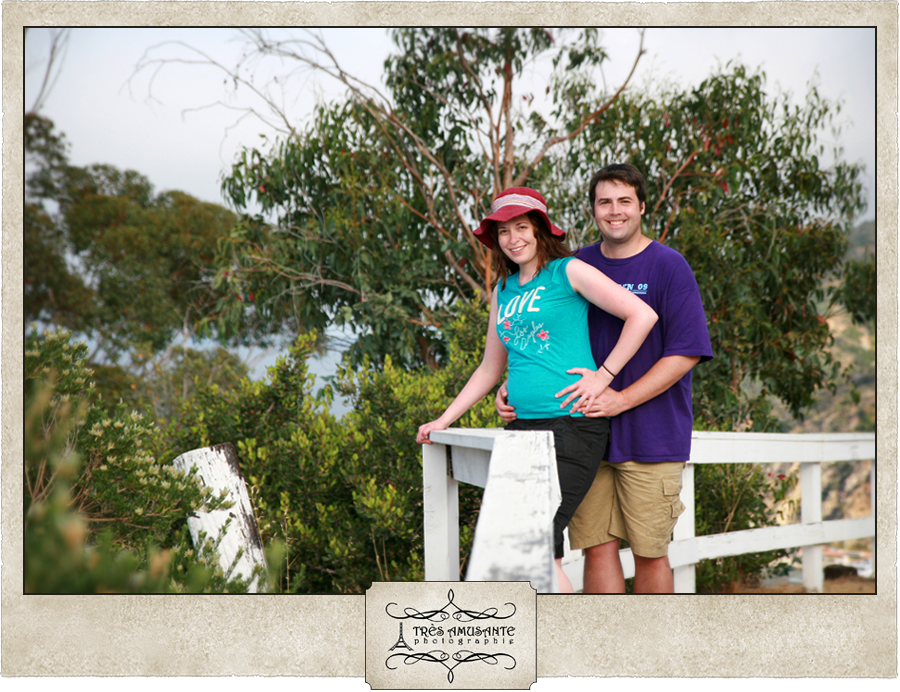
As evening swept in, I made an impulsive decision to take some special shots of just the two of us. Fog had moved in, and we didn’t have a lot of daylight left, so we had to be quick. Facing such pressure, Justin couldn’t keep a straight face and I couldn’t hide my frustration. Uncooperative though he was, I think we still managed to get some cute shots, but of course, I could be biased.

2011, Travels

Yosemite National Park

Shortly after we booked our flight and were still just beginning to plan our activities for this trip, I saw the episode of Oprah where she and Gayle drove across the country to camp in a national park. They were clearly out of their comfort zone, but ultimately came to the conclusion that it was worth it to experience a place so beautiful. The episode ended with Oprah urging her viewers to visit this place for themselves. Later that night while discussing the upcoming trip, I found myself saying to Justin, “Oprah says we should go to Yosemite.” And instead of mocking me for blindly obeying Oprah, he said, “Let’s do it!”

The adventure began with uncertainty. The record snowfall in the region meant that our entrance to the park wouldn’t open for the season until two days before we planned to drive through. Due to the scheduling of our events in southern California later in the week, if there were any delays in clearing the snow, we wouldn’t have time to stop at the park at all. So when we drove past the roadside sign that blinked ‘Tiago Pass Open’, we were pretty excited. As we began the steep ascent into the mountains, I made Justin stop the car. We weren’t even officially in the park yet, and I was already amazed by the view.

Ladies and gentlemen, welcome to Yosemite National Park

Even as summer set in, Ellery Lake was just starting to thaw. It was really bizarre to stand among snow and ice in a tee shirt and be perfectly warm. 

All of the melting snow meant that seasonal waterfalls formed everywhere, including some down the side of the mountain that dumped their water into the narrow roads that led through the park.

The water eventually found its way to the rivers and flowed with force. Signs were posted to remind visitors to respect Mother Nature’s power and stay out of the potentially dangerous rapids.

One particularly breathtaking spot was Olmsted Point. We wandered around here for over an hour, taking in the views and the fresh air. (Full disclosure, I got a little sun burned too. It didn’t occur to me, until it was too late, that at the high elevation I would need more sunscreen than I usually use.)

This little guy was a yellow-bellied marmot, which are a cousin of groundhogs. We saw at least a dozen of them scurrying around on the rocks and they were adorable. Cute as they were and tempting as it was, it’s against federal law to feed or touch them or any animal in a national park, so I had to settle for a few photos. Fortunately, he didn’t mind posing at all!

We moved on to find another amazing waterfall.

As we were on our way out of the park for the evening, we stopped in one last meadow to have a look around, and this beautiful young buck walked up to join us. He kept an eye on us until we got back in the car, and then continued on his way.

When we returned in the morning, we were headed down into the famous Yosemite Valley for the day and stopped for a photo at the entrance of the park. 

The first place we visited was Bridalveil Fall. Unless you wanted to get absolutely drenched, this was about as close as you could get. And even at this distance, some spray managed to drift through on the breeze. Justin decided to be brave, get soaked and walk all the way up the path to the viewing station at the bottom of the waterfall. I stayed dry while checking out the river in the forest.

We enjoyed a picnic lunch at Sentinel Beach where we had a great view of Yosemite Falls. The waterfalls empty into the Merced River, which had overflowed it’s banks and flooded the nearby trails. Apparently, this happens every year during the winter melt.

Without question, the star of the valley is El Capitan, a granite giant towering nearly 3600 feet above the valley floor. In Yosemite, this mountain is king of the mountains.

This wide shot of the valley is the most famous view in Yosemite – El Capitan with Bridalveil Fall across the way and Half Dome in the distance. This is the scene that sparked the desire to protect and preserve this land, which eventually led to the creation of the National Park Service. Thanks John Muir! We all owe you big time!

We went exploring around the base of El Capitan, and took a couple photos to show how our height compared to that of the mountain.

We found a few signs that indicated the directions for trails to other locations nearby, so we set off on what we thought was a trail to Inspiration Point. After climbing around the difficult terrain on the side of the mountain, hitting numerous dead ends and being forced to turn around, I started to think that maybe we had lost the trail. Justin insisted that we absolutely had not lost the trail, it just wasn’t a well traveled one. I maintained that it shouldn’t be this difficult to navigate if it really were a trail, and that we should just give up and go back. He reminded me that he knows a bit more about hiking than I do, after all, he’s hiked on four continents and I haven’t.

We went back and forth, both in conversation and in our attempts to locate and stay on the trail that we may or may not have been on for about a half hour. Finally, I told him to sit down, smile for the camera and follow me out of the woods because I was done searching for the trail. So here we are admitting defeat to the forest. You won, Yosemite, you won… this time.

2011, Travels

Ancient Bristlecone Pine Forest

I like opportunities to stand face to face with living history and be humbled and amazed, so when Justin’s mom and step-dad suggested spending the day at Ancient Bristlecone Pine Forest, it didn’t take too much effort to convince me that it would be a neat place to visit. At nearly 5,000 years old, these are the oldest trees on Earth.

The coffee mug I bought in the gift shop describes them more eloquently than I ever could: “Standing as ancient sentinels high atop the White Mountains of the Inyo National Forest, the Great Basin Bristlecone Pines rank as the oldest trees in the world. Living for thousands of years, these gnarled, twisted ancients have achieved immense scientific and cultural importance by providing the wood that helped to recalibrate the radiocarbon dating process.”

When the pyramids were built in ancient Egypt, these trees growing in California were already two thousand years old. With that piece of trivia and my mind sufficiently blown, we set off on a hike through history. 

At just over four miles, the Methuselah Trail is not for the faint of heart. Situated at an elevation of 10,000 feet above sea level, the first challenge is catching and keeping your breath. Then there’s the fact that it’s not exactly a wide or paved walkway – it’s just a narrow, dirt path winding up and down the steep hills through the mountains. And then there’s the creatures you might encounter… poisonous spiders, snakes, scorpions and maybe even some bears. Taking all of this into consideration, we still decided to take the trek and I’m so glad we did because it was worth every grueling minute!

Several species of pine trees grow in the forest, and the Bristlecone is named for it’s spiky pine cones.

We made frequent stops to catch our breath and set up the tripod for photos.

Somewhere along the trail sits Methuselah – it’s not just the oldest tree in the forest, it’s believed to be the oldest living thing on planet Earth. To protect it from vandalism, Methuselah is unmarked in the forest, but we felt this tree was a strong contender for the title.

Unlike the California redwoods, the Bristlecone Pines don’t grow very tall, but what they lack in height, they make up for with incredible texture and fascinating patterns in their wood.

I loved the way the sunlight filtered the trees, so I had to have a shot of us in this spot.

At the last place where we stopped to rest, we pulled out the tripod for a group shot. Here’s Justin, myself, Bill (Justin’s step-dad) and Joann (Justin’s mom) just before we completed the trail. See that cane Joann has? It’s actually a walking stick intended to make noise when it strikes the ground and scare away rattlesnakes. We didn’t see any on our hike, so I guess it worked!

2011, Travels

Death Valley

While riding along in the rental car on our way into California to meet up with his mom and step-dad in the Sierra Nevada mountains, Justin made an impromptu decision to take us through Death Valley National Park. He had visited it before and insisted that it was well worth the detour to spend the afternoon checking it out. Death Valley has the honor of being both the hottest location and holding the lowest elevation of any point in North America. And with the allure of some interesting geological oddities to photograph, I was fired up to go exploring!

We entered the park at an elevation of around 800 feet above sea level, the same elevation as our native Ann Arbor. That elevation quickly dropped, and we watched the numbers tick away on a GPS device as we drove. It was like a New Year’s Eve countdown as we neared sea level, with a few horn honks and cheers when we arrived. From that moment on, it was literally all downhill from there!

The first place we stopped to have a look around was called the Devils Cornfield. They look to me like tumbleweeds, before they’ve started to tumble.

Then we moved on to the Mesquite Flat Sand Dunes – a beautiful, graceful and ever-changing intrigue in the harsh desert. When I first saw the dunes, I couldn’t wait to run all the way out there and play in the sand. That feeling fled when I got out of the car and actually felt the sand. To say it was hot doesn’t say enough… It was burning, baking, blistering hot! It was seriously like walking on tiny hot coals. So we didn’t stay very long…

When we stopped to wander through Mosaic Canyon, it suddenly occurred to me that since we were now in California, we were in an area of frequent earthquake activity. So I asked Justin how far we were from the fault line. “How do you think the mountains were formed?”, was his oh-so-comforting reply.

The next stop was the Devils Golf Course – a series of strange salt formations left behind by a long since evaporated lake. We pretended it was the surface of Mars, held a ceremony for our ‘landing’ and took our shuttle crew photo.

We had to stop at Badwater Basin, if only to say we visited the point of lowest elevation. At 282 feet below sea level, the air is thick, the heat is dizzying and then there’s the water… The high salt content and nasty appearance of this pool led to it earning the name of Badwater. Though it isn’t safe for humans, there are a few plants and animals that thrive in the soupy liquid.

A sign perched high in the mountainside above the parking lot noted where sea level was and provided an eerie reminder of how far down we’d gone.

When we started out on the long walk along the salt flat, we had no idea how hot and miserable this walk would be. The 110 degree air temperature hadn’t really affected us much all day, but that changed with this walk. The sunlight reflected off all of the salt and the heat just hung in the thick air. When we turned back, we had an interesting perspective. See that tiny white speck in the center of the photo? That’s the sea level sign above the parking lot. It blew our minds.

Although it was oppressively hot, it was pretty cool. The salt reminded me of the moon, craters and all.

To complete our day in the desert park, we took a drive through Artist’s Palette. The mineral deposits in the mountains create a rainbow of color when lit by the sinking sun. I was fascinated by the way the light made the desert holly seem to glow. It was amazing to see such incredible beauty in such a punishing environment.

2011, Travels

The Neon Boneyard

For our first full day of vacation, and our only full day in Vegas, I arranged for us to see a side of Sin City that most tourists probably don’t even know exists. Just beyond the end of the Strip and just before you enter the downtown district of the city lies a hidden playground of Vegas history affectionately called the Neon Boneyard. In a nutshell, it’s where the old hotel and casino signs from the Strip go to retire or just rest for a while until someone decides to restore them. Financed through donations, the non-profit Neon Museum offers guided tours where the stories and history of the signs are told. They also allow private access for photo and video sessions, which was our purpose for visiting…

The Boneyard is just a photographer’s dream come true – that’s the only way to describe it! The old, broken, rusted signs are bursting with character and they almost audibly beg to have a camera pointed at them. Stepping close to examine their detail, you feel as though the spirit of Old Vegas is a living being and the ghosts of Frank Sinatra and Sammy Davis, Jr. are standing next to you. It’s humbling and awe-inspiring. At least, that’s how I felt. And knowing that we had the place all to ourselves for an hour was the cherry on the sundae!

With the assistance of a tripod and a wireless shutter remote, I was able to photograph this session and be a subject in it. Not an easy thing to do, mind you, but the results are so worth all the effort! Take a look!

One of the challenges of shooting a session that you’re also a subject in on a breezy day is that no one is there to tell you that the wind has blown your dress up and your lining is showing. Another one is when you’re delayed from capturing the shot you want because your boyfriend cannot stop giggling.

A Neon Museum employee came over to let us know when we had five minutes left in our hour. She noticed the sign we were posed with and told us that it had originally been part of the Moulin Rouge hotel. When it came to live at the Boneyard, they reworked the Rouge so it appeared to spell “Love” instead. 

For our big finish, we decided to do a little twirl and take a big bow.

I definitely recommend putting this place on your Las Vegas sight-seeing list! We liked it so much we even plan to come back the next time we’re in town and take the official Boneyard tour to hear the stories of these amazing signs.